The Arab Geographical Information Room

Temperature Map

Syrian Refugees

Camps in Jordan

Sudan Floods

September 2020

Devastating flood across 17 out of the 18 states

Lebanon
Forest Fires

Massive fires devour
the forest of Lebanon

PREV
NEXT
Geographical information systems will be a vital tool to allow us to see how the environment and economy relate over time and space. The GIS main five capabilities for sustainable development are 1) to produce and maintain geographic information; 2) to support distributed access to (environmental) information (spatial data infrastructure) ;(3) to solve spatial problems (spatial analysis and environmental modeling); (4) to support collaborative decision-making (group spatial decision-making); and (5) to support public participation (public participation GIS). Using these capabilities within SDGs, GIS could help to solve complex concerns by creating a geographic design framework.)

AGIR serves as a a center of excellence dedicated to propagating natural resources management, disaster risk management, and responsible investments with a multi-level scope covering all Arab Regions.
• Centers of excellence that cooperate with Global/Regional/national Thinks tanks, academic research, GIS, and RS centers of excellence institutions that have a critical role in delivering the above-highlighted needs to lobby and engage the private sector, youth, entrepreneurs, investors and even the public in general to become active agents of change. The availability of such regional think tanks and institutions is limited if not scarce.
• a Regional Mechanism for Resources and Risk Management is helping through providing knowledge, guides, studies and assessment, awareness-raising, capacity building, engagement through regulations and incentives, and help to create partnerships and collaboration.
• AGIR is structured as a long-term program, with the main objective:
1. To support the decision-making and access to information that covers multi-levels with multi-thematic areas for all Arab Countries.
2. To act as a dynamic approach to link knowledge generation-evidence based decision making and Implementation under LAS political leadership towards a real transformative impact, to increase scalability for water, food, and climate securities developments; investments and early actions operations for resilience and building back better.
3. To serve with other LAS-SDIC programs to accelerate the achievement on the SDGs, in the Member States.
4. To serve as a potential leading Information provider to serve the needs of SDGs, Climate agreements, and the Sendai framework.

Climate security is causing additional water stress in a region that is already extremely affected by water scarcity. The arid to semi-arid climate, the lack of renewable water resources that lie within the boundaries of the Arab countries...


READ MORE

CLIMATE SECURITY & FOOD SECURITY

The Arab world has the highest food deficit and is the highest food-importing region globally. The average annual increase in the food production and consumption gap is increasing throughout the past few years...


READ MORE

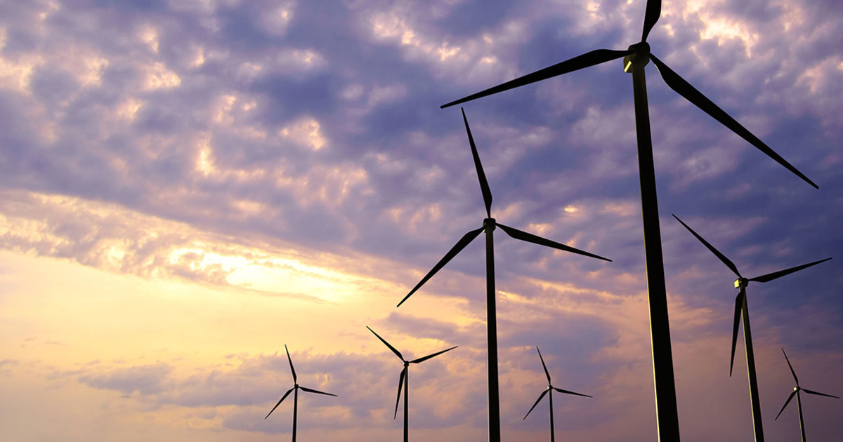
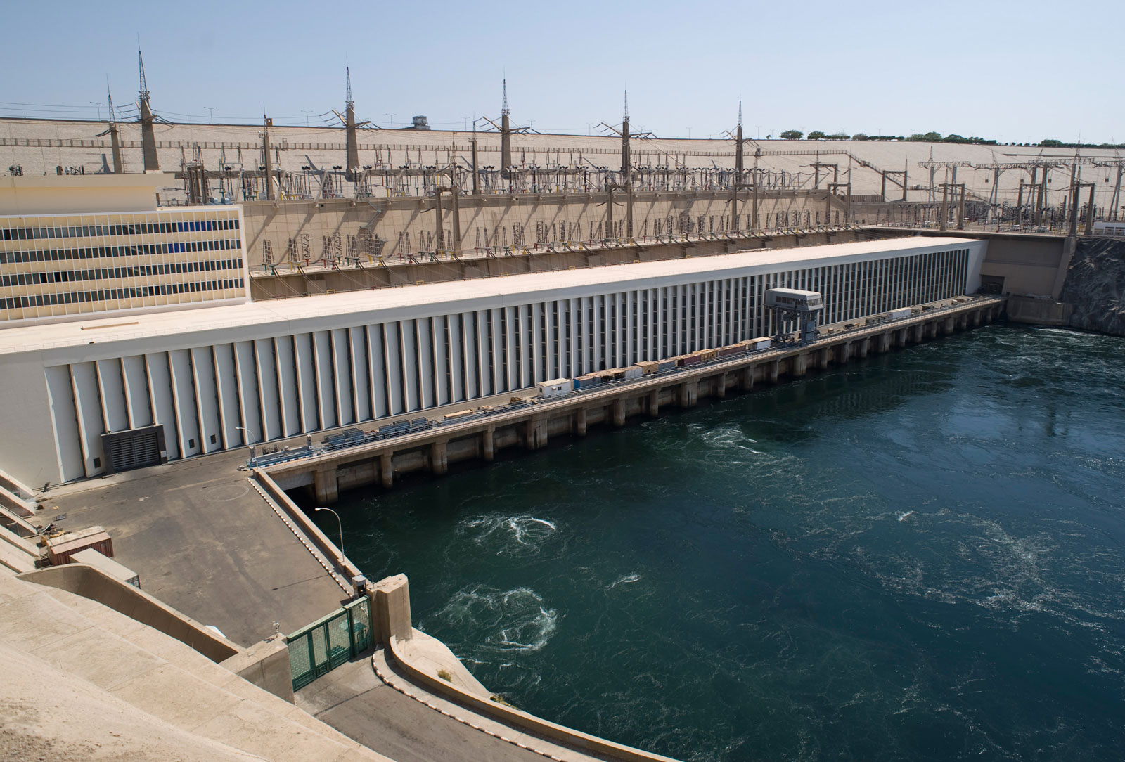
CLIMATE SECURITY & ENERGY SECURITY

Our energy systems, including industry and transportation systems, rely by around 80% on the use of fossil fuels. The combustion of fossil fuels releases CO2 and other greenhouse gases into the atmosphere...


READ MORE

CLIMATE SECURITY, SOCIAL COHESION & GENDER EQUITY

imate change phenomena, such as rising temperatures, changes in precipitation patterns and rainfalls, sea level rise, and the increase in extreme and destructive weather, have an immediate impact on social security and wellbeing...


READ MORE

TOP